Applanix POSPac UAV - Perpetual License with 1 year maintenance
Applanix POSPac UAV®, now with Applanix POSPac® Trimble Post-Processed CenterPoint® RTX™ (PP-RTX®), is our next generation, industry-leading software for Direct Georeferencing of UAV/Drone mapping sensors using GNSS and inertial technology. It is tailored to the UAV/Drone market supporting Trimble APX products. This smart software solution achieves both maximum accuracy and maximum efficiency for Direct Georeferencing. Compared to Applanix POSPac MMS® it is a smaller software package focussing on UAV application.
- Applanix PP-RTX®: Process your trajectory without a base station. This service works globally within minutes after data acquisition.
- Survey Base Station Coordinates: Use static CenterPoint RTX to survey in your base station coordinates.
- Network License: Perpetual and Term License Support in network environment. Local checkout license support for field jobs.
| - : Calibrate the boresight angles of your LiDAR and adjust the trajectory based on LiDAR Data.
- Report Summary: Get a comprehensive report as PDF with all processing details.
| - Batch Processing: Process your data in batch command line mode to automate your production.
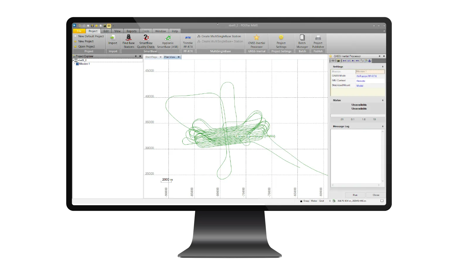
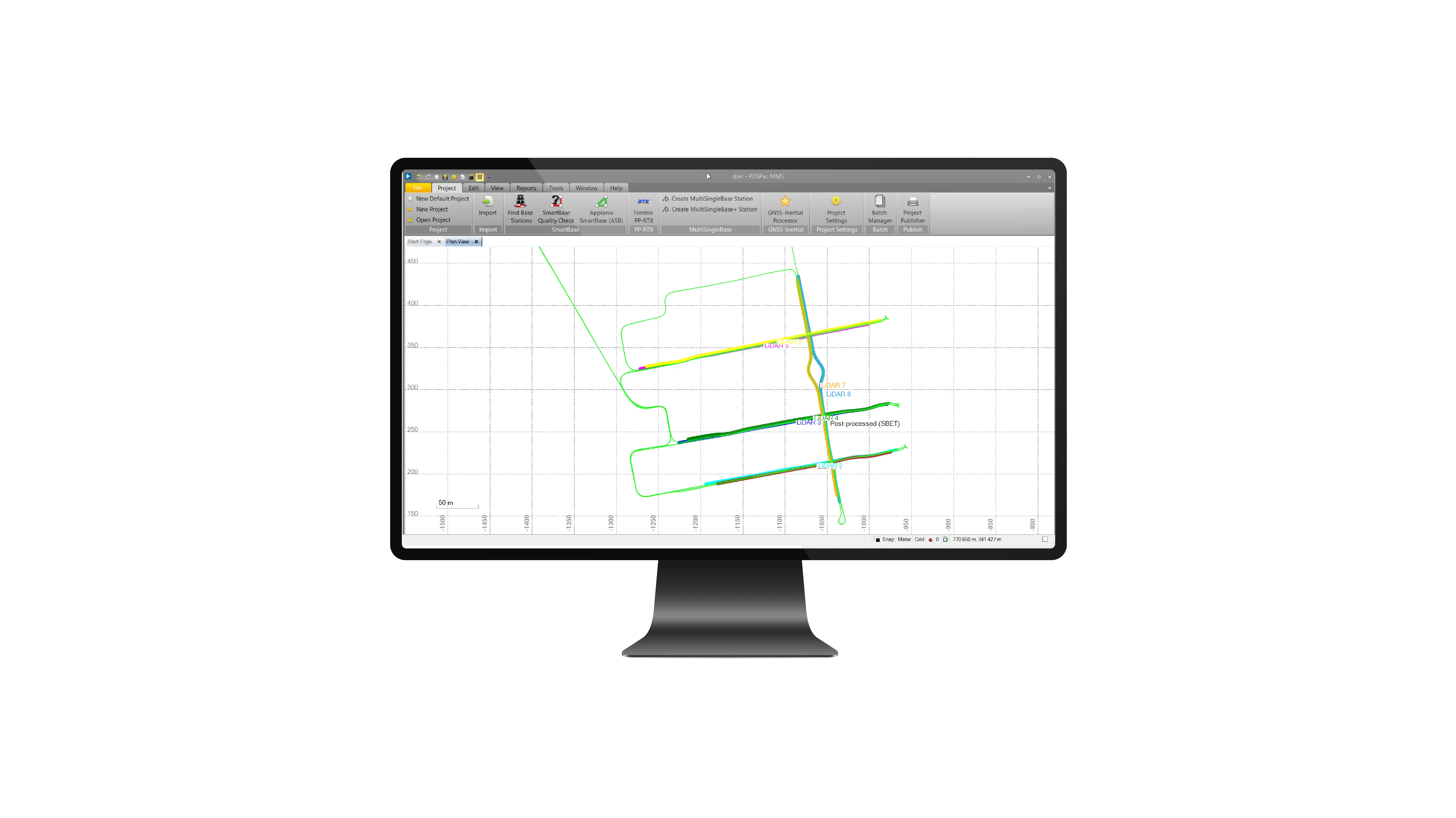
- Intuitive GUI and smart Plots: Quick user learning and smart plots to evaluate results.
|


